Monday, December 29, 2014

Paddling the Estuaries of Clam Bay

December 27th

The girls and I got up late this morning. I had checked tides yesterday and wanted to be in the water by 8am which meant getting up by 6:30. But once up, the fog was so thick I was no longer in a hurry.
After getting our breakfasts out of the way and giving them their morning walk I went to the garage to load up. This morning I decided to take the Perception Sport 9.5 to explore Clam Bay and it's estuaries.

Historically, Clam Bay was tidally connected to the Gulf of Mexico via Wiggins Pass to the north, Doctor's Pass to the south and centrally located Clam Pass. The northern and southern ends of Clam Bay became isolated in the 1950's when roads were constructed leaving Clam Pass as the only connection to the Gulf.

Captain Mike off on another adventure!!
With the kayak on the car I grabbed my camera, water bottle, life jacket, phone paddle and water shoes, loaded them into the car and drove to Clam Pass Park at the end of Seagate. The "put in" is located at the end of the parking lot near the start of the boardwalk to the beach.
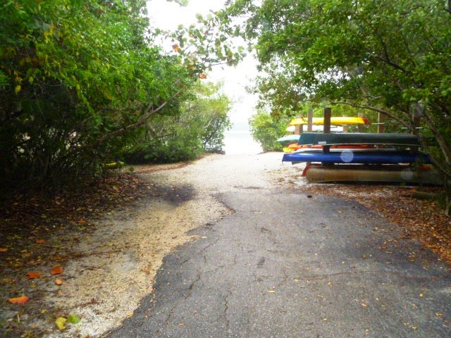
The path to the "Put-In" at Clam Pass Park
After parking the car I unloaded the kayak and carried it down to the water along with all my gear. Switching to my water shoes I pushed off and climbed aboard. It was 8:30am.

Ready to hit the water!
Definitely foggy!
The fog was slowly lifting as I started to head up Outer Bay toward the pass.

The "Put In" is at Marker 1
The estuary spans approximately 600 acres and includes an elongated system of shallow bays and mangrove swamps that connect to the Gulf at Clam Pass. Today Clam Bay is almost entirely surrounded by development.

On a side note, I captain small electric boats taking people on eco-tours of the Gordon River for the Conservancy of Southwest Florida. The Conservancy is assisting in the restoration efforts of Clam Bay by monitoring the mangrove ecosystem for recovery and growth.

"Snake Bird" waiting for breakfast
As I paddled North towards the smallest drawbridge in Florida, I passed one of the numbered channel markers with an Anhinga perched atop it, waiting for lunch to pass by. Anhingas and Cormorants are also called "Snake Birds" because they have no oil in their feathers and, like a loon, sit very low in the water with just their neck sticking out of the water looking like a snake.

Nearing the drawbridge
The drawbridge was built to accommodate several sailboat owners living along the shore of Outer Clam Bay. The drawbridge portion is about 6' wide and on the right in the photo. Over the years the mangroves have continued to encroach into the waterway. Along with continuous shoalling, the channel is only deep enough for passage at high tide but with the mangroves blocking most of the channel  I don't think it's used any more.

Continuing under the bridge, the outgoing tide pulled me northward. Rounding the last barrier island I entered the channel leading to Clam Pass an the Gulf. The current got much stronger the closer I got to the Pass.


He's actually on the other side of this flock

Just before entering the Gulf I managed to ground myself on a shoal and get my camera out. Both sides of the pass had large flocks offshore birds, pelicans, egrets and herons.

After taking some photos I struggled  against the current back through the pass to the start of the Mangrove tunnels at marker 13 and the south boardwalk.

Yellow Crowned Night Heron with Breakfast

Entering the Mangrove Tunnels

From marker 13 to marker 24 I wound my way north on a twisty, turney path. At one point I passed a what looked like a Yellow Crowned Night Heron standing on a sand bar with a crab in his beak trying to figure out the best way to swallow it.

Snowy Egret


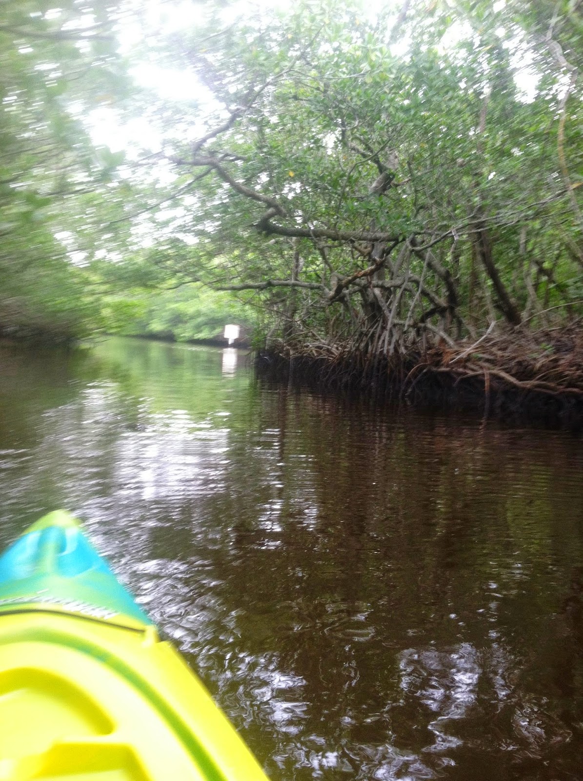
Reaching Inner Clam Bay, I slowly paddled the half mile up the bay past marker 25 and under the north boardwalk entering the most scenic of the Mangrove tunnels. All along this stretch of the estuary, the overhanging mangrove cast their reflections on the still water prompting several stops for photos.


What will I find around the next bend?

Symmetry of Earth and Water

Upper Clam Bay

By the time I reached marker 31 and entered Upper Clam Bay the current of the outgoing tide was nearing its peak, so I decided to turn around and take advantage of the tide. Quickly slipping back through the Mangrove tunnels to Inner Clam Bay.

Along this half mile stretch across Inner Clam Bay I was treated to school after school of Mullet jumping and dancing along the surface of the water. They were all around me and put on quite a show! Unfortunately, every time I pointed my camera in one direction they broke out in another so I gave up and continued paddling.


Mud Flats

Everybody is looking for Breakfast

After completing the last section of Mangrove Tunnels and arriving back at marker 13, I expected the tide to have reached its low point (10:15am) and give me a half hour of slack tide but I forgot to adjust for the distance from Gordon Pass where my tide reading is set, so I was about 45 minutes to an hour off in my calculations.


Winding through the mud flats I passed several groups of birds. In order to stop for photos I had to ground on the shore or risk being carried back toward the pass.

Osprey having a nice fish breakfast!

The sun is finally coming out

Arriving back at the "Pull Out"

By now it was 11:15 and I still had a mile to go. As the sun finally whisked away the last of the fog I reached the "pull out" to complete my journey. What a great paddle! And just in time for lunch!!

Sunday, May 4, 2014

Nashville to Sylvania, GA

Nashville to Sylvania

On the road towards Chatanooga
Well we're finally getting back to the warm. Shorts and short sleeve shirt for me and summer slacks and blouse for Tina... wonderful! We were up and out by 7:30 with a quick stop for coffee at Starbucks. Then it was on the road East towards Chatanooga. Tina put in the first 90 minutes then we switched off.

Crossing an arm of Lake Oconee
We were making a detour as part of our research for our daughters retirement plans. Marni and her husban Darren are planning to retire from the rat race in a few years and they would liker to open some sort of an expanded B&B/Guest House which would be more like a Dude Ranch without the horses. A place where people can go to enjoy themselves for a week or more in a nice country setting where they can offer, kayaking, hiking, biking, etc. We figure it will take at least a year to finalize the idea. But we have done some research on locations and there was a property that met most of their criteria, 50+ acres, water access, multiple out buildings and equipment, trails, an existing house that could be expanded to 6 or 7 rooms.

So, since we were only a day away, and the GA area within 50 miles of Atlanta met the weather conditions and access to European clientele we were making the trek to a little town called Sylvania in GA.

Leaving Chatanooga, we followed I-75 to Atlanta here we slowly eased our way through Sunday traffic that felt like Monday morning rush hour!  Once through Atlanta we picked up I-20 towards Augusta. Fifty miles west of Augusta we cut down to the south on GA-80 which took us through Warrenton, Wrens and Waynesboro (they like cities with names that start with "W") before we cut off onto GA-21 out to the property we wanted to look at.

Red soil of Georgia
Georgia is beautiful in late spring. The area around Sylvania is mostly agricultural and many of the fierlds have been plowed ready for planting or already in corn and cotton. One thing that surprised us was how red the soil was in many fields. Almost orange in some cases.

Entranc Hall at Kinchley Place B&B
We arrived at the property about 5pm and found a rutted dirt road that wound past a recent clearcut and past several small "cracker" houses on the way to the home we wanted to see. We got to the property and decided that it would take too much investment to do anything with it so we turned around and drove back into Sylvania to the Kinchley Place B&B for the night.

There are only two rooms and the owners actually live in the house ext door, so we had the entire house to ourselves.

http://www.kinchleyplace.com/

Tina is ready to relax!
The owner Bob, met us and showed us around the house giving us the big bedroom. Once we brought our stuff in and got settled, we had dinner, leftovers from lunch, rather than go out for Mexican, the only restaurant that would be open on Sunday.

Formal Dining Room
We spent some time talking to Bob about the area and his experiences getting the place open. He thinks that the area might be too quiet for the type of operation our kids are looking to start. Statesboro, about 30 miles South is probably more like the area where they could attract people and provide the services they are thinking of.

Formal Sitting Room
Originally we had planned on connecting with a realtor in the area but after talking to Bob we think we can do just as well getting info from the web until the kids are ready to maker a move. Plan first, action second.

Tomorrow we will enjoy a leisurely breakfast then head South for a stop in Ocala before making the final leg home on Tuesday.

To see all our photos from today, go to:

http://picasaweb.google.com


Saturday, May 3, 2014

Columbia to Nashville

Columbia to Nashville

Up early to shower and get started. Took the kids down for their morning walk and it was WARM!! Unbelievable! It was probably 62 or 63 outside! Once we got the dogs fed and in the we took all the bags and gear down and packed the car for the days journey. But first a quick stop at Starbucks for oatmeal and a good cup of joe, then it was onto I-70 E for the leg into St Louis.

Light traffic on I-70 E towards St Louis
With Tina driving and very little traffic we covered the first 80 miles in an little over an hour. That's when she noticed we needed gas. So we pulled over and tanked up. I took over the driving chores as we continued on to St Louis. Traffic started to pick up in St Charles about 14 miles outside of St Louis.

Add caption
Tina captured this overpass from the St Louis Science Center to the McDonnell Planetarium just on the outskirts of downtown St Louis.

First glimpse of the Gateway Arch

Add caption
 We got to see the Gateway Arch from many places as we passed through St Louis but this was the best one. Shortly we crossed the Mississippi River leaving Missouri and entering Illinois.

Bridge over the Ohio River
Our route took us south through Illinois to the Ohio River where we crossed into Kentucky. Soon we were passing the Cumberland River and on to the border with Tennessee.

Mustard fields
Along the way we passed numerous fields covered in a carpet of yellow, we suspect it was mustard in full bloom! Very pretty!


Tina about to enter Antique Archeology
Finally we entered Nashville and cut over to visit Antique Archeology's Nashville Store. It was just as cool as on TV!

The view looking into the store from the front door


The famous Pig!

High Wheeler

Famous Drag Bike

Unrestored Indian

Original Marketing to to Drum up business

The famouse Arrow

Tina and Loren
 After Tina got her picture taken with Loren we headed for the LaQuinta Inn on the other side of town. After registering and getting our gear to the room we took an hour to relax before going to dinner. We went to a very nice family restaurant about a mile away and had a couple of great salads for dinner then it was back to our room where we tucked in for the night to watch a little TV before hitting the sack.

To see all our photos from today go to:

http://picasaweb.google.com/mjdolanski


Friday, May 2, 2014

North Platte to Columbia

North Platte to Columbia

There are a lot of mountains in this grand country of ours!
Once again we had a cold, frosty morning. I took the kids out right after they had their breakfast. Then with everything packed and ready to go we went down to breakfast. After fueling up with coffee, we tanked up the car and began our days drive to Columbia, Missouri.

Tina took the first leg and after an hour we stopped in Kearney for Starbucks, just a short (4 mile) jaunt to a real cup of coffee, but worth it. A thriving town filled with young people, it speaks to the strength of the heartland! With a quick stop for doggy treats we were back on the road to the freeway.

Add caption
Not too much further on we saw a huge smoke cloud and thought it might be a house fire.

Controlled burn
But it turned out to be a controlled burn in a corn field.

The rest of the drive through Nebraska was pretty uneventful until we got to Lincoln City where traffic got heavy but we were soon through it and into Ohio for a few miles where we stopped for lunch at a major truck stop just before crossing into Missouri.

Monument to Lewis and Clark
After gassing up we were back on I-29 which follows the Missouri River past St Joseph and through Kansas City at rush hour! Soon we made it through all the traffic and onto I-70 East until we got to Columbia where we made our stop for the night.

To see all our photos go to:

http://picasaweb.google.com/mjdolanski